Charleston Against the Rising Tide
Trace buried creeks, battered seawalls, and a city adapting
- Charleston, United States
- 12 stops
- 158 min
- 4.5 km
- History
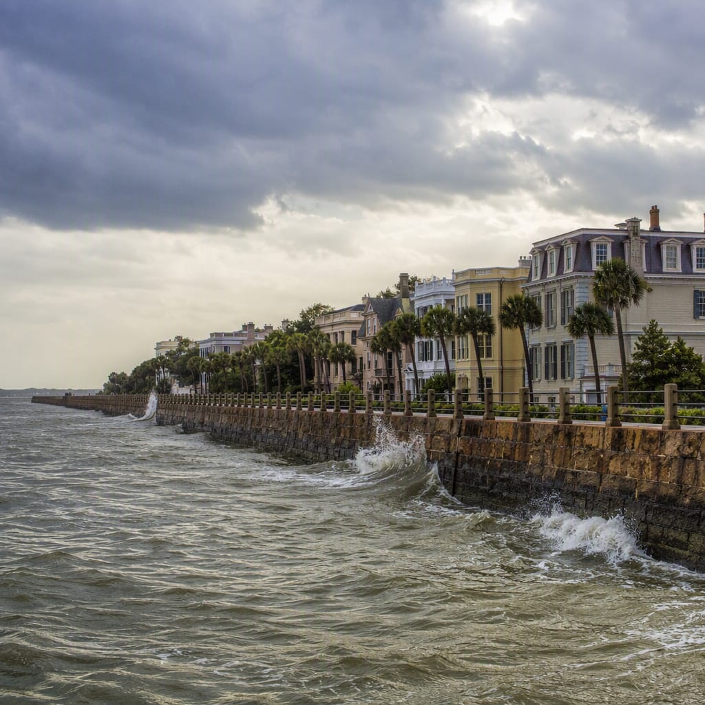
Try the first stop
Colonial Lake
A tidal pond reveals how Charleston drains rain against a rising harbor.
Begin beside water that sits inside the city rather than beyond its seawalls. Colonial Lake occupies historically low, marshy ground connected to Charleston’s tidal landscape. Watch the pond, curbs, and nearby drains together to see how rainfall, groundwater, and harbor tides interact beneath an otherwise peaceful neighborhood park.
The route
12 stops, in order.
- 1Stop 1 · Free sample
Colonial Lake
A tidal pond reveals how Charleston drains rain against a rising harbor.
- 2Stop 2
Council and Gibbes
Quiet streets expose the hidden bathtub behind Charleston’s famous waterfront defenses.
- 3Stop 3
White Point Garden
An engineered harbor point reveals how storm surge attacks Charleston’s southern edge.
- 4Stop 4
Low Battery
A working seawall balances tidal defense, drainage, access, and rising seas.
 Stop 5
Water Street
A street name preserves the memory of Charleston’s buried tidal creeks.
- 6Stop 6
High Battery
Charleston’s elevated promenade puts walkers directly atop its harbor defense system.
- 7Stop 7
Hazel Parker Playground
A neighborhood park shows what waterfront resilience protects beyond historic buildings.
- 8Stop 8
Adger’s Wharf
A narrow wharf lane traces Charleston’s parcel-by-parcel expansion into the river.
 Stop 9
Rainbow Row
Charleston’s colorful landmark stands beside a shoreline pushed steadily eastward by commerce.
- 10Stop 10
Old Exchange
Massive waterfront masonry connects reclaimed ground, commerce, storms, and earthquake survival.
- 11Stop 11
Circular Congregational Church
A rebuilt church reveals resilience through structural change, repair, and remembrance.
- 12Stop 12
Waterfront Park
A beloved public park occupies reclaimed wharves exposed to tides and hurricanes.
The app guides you from stop to stop with GPS and plays each story when you arrive.
More tours in Charleston
See all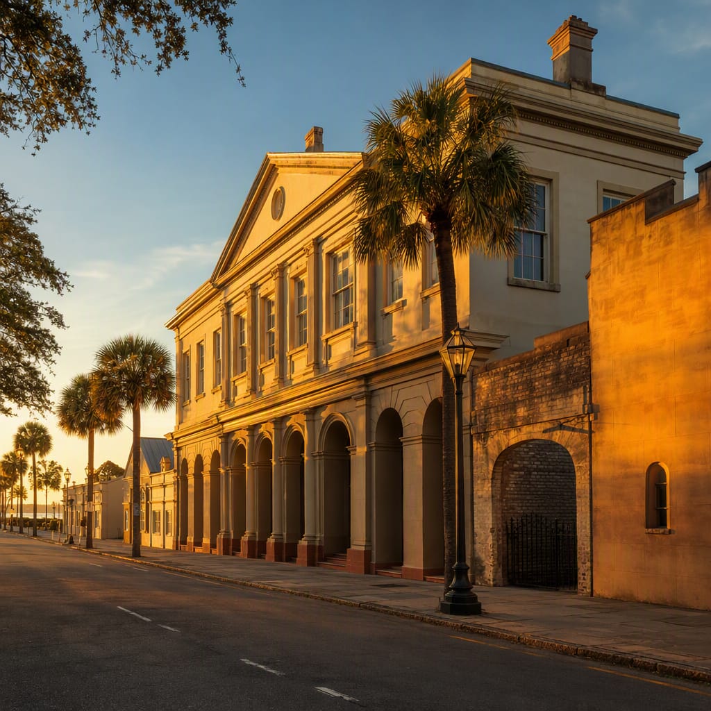 Voyay walking tour
Revolutionary Charleston: Ink, Ale, Exchange
Follow Patriots, Printers, Taverns, and Trade Through the French Quarter
11 stops · 139 min · 3.6 km · Free
 Voyay walking tour
Waterfront Paths to Black Memory
Follow arrival, survival, institution-building, and remembrance across Charleston
10 stops · 222 min · 16.2 km · Free
 Voyay walking tour
Hampton Park Through Hidden Time
Trace racing, imprisonment, remembrance, spectacle, and contested Charleston memory
10 stops · 109 min · 2.1 km · Free