San Siro Beyond the Stadium
Walk through sporting spectacle, equestrian heritage, and experimental suburban Milan
- Milan, Italy
- 12 stops
- 243 min
- 10.7 km
- Architecture
Try the first stop

Monte Stella
A postwar rubble hill transforms reconstruction into recreation, landscape, and urban history.
Climb Milan’s remarkable artificial hill, shaped by Piero Bottoni partly from wartime rubble and excavation material. Created as QT8’s green centerpiece, Monte Stella turns destruction into public landscape. Its wooded paths, running routes, and shifting views connect the experimental neighborhood with the stadium, western suburbs, and distant skyline.
The route
12 stops, in order.
- Stop 1 · Free sample
Monte Stella
A postwar rubble hill transforms reconstruction into recreation, landscape, and urban history.
 Stop 2
Giardino dei Giusti
A contemplative hillside memorial honors people who resisted persecution and totalitarian violence.
- 3Stop 3
Centro Sportivo XXV Aprile
A municipal athletics ground reveals San Siro’s everyday culture of training and participation.
 Stop 4
Santa Maria Nascente
A quietly radical circular church gives experimental QT8 its intimate community focus.
 Stop 5
Quartiere Sperimentale QT8
A living postwar laboratory mixes experimental housing, green space, and democratic optimism.
- 6Stop 6
Ippodromo Snai San Siro
An elegant historic racecourse reveals the equestrian spectacle that preceded San Siro football.
 Stop 7
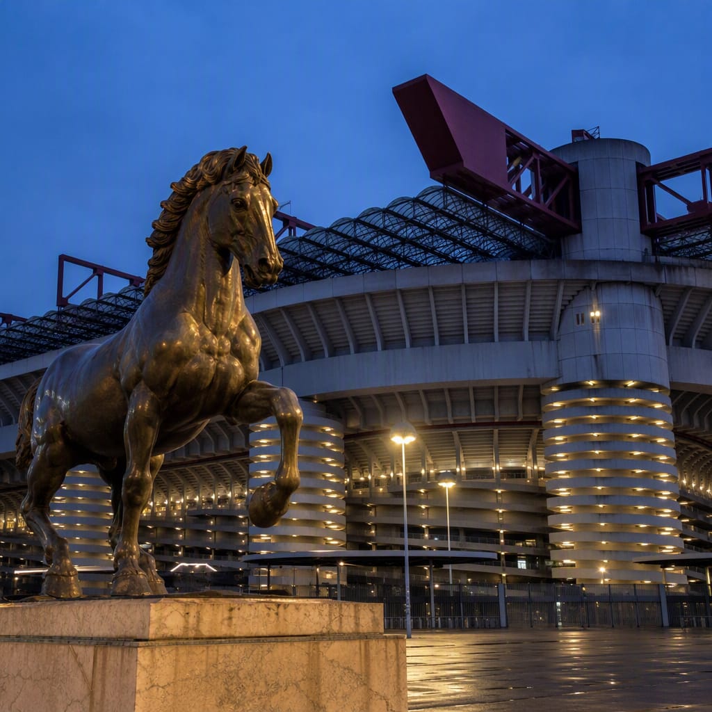
Cavallo di Leonardo
A colossal bronze horse connects Renaissance ambition with San Siro’s equestrian heritage.
 Stop 8
San Siro Stadium
Helical ramps and towering stands turn football crowds into visible urban architecture.
- 9Stop 9
Piazza Axum
An oversized forecourt becomes a temporary city whenever San Siro draws a crowd.
 Stop 10
Harar-Dessiè
Village-like housing clusters bring gardens, privacy, and human scale to postwar Milan.
 Stop 11
Quartiere Harar
Long modernist apartment blocks trade enclosed courtyards for light, air, and greenery.
- 12Stop 12
Quartiere Popolare San Siro
Interwar public housing reveals the lived realities behind Milan’s rational planning ideals.
The app guides you from stop to stop with GPS and plays each story when you arrive.
More tours in Milan
See all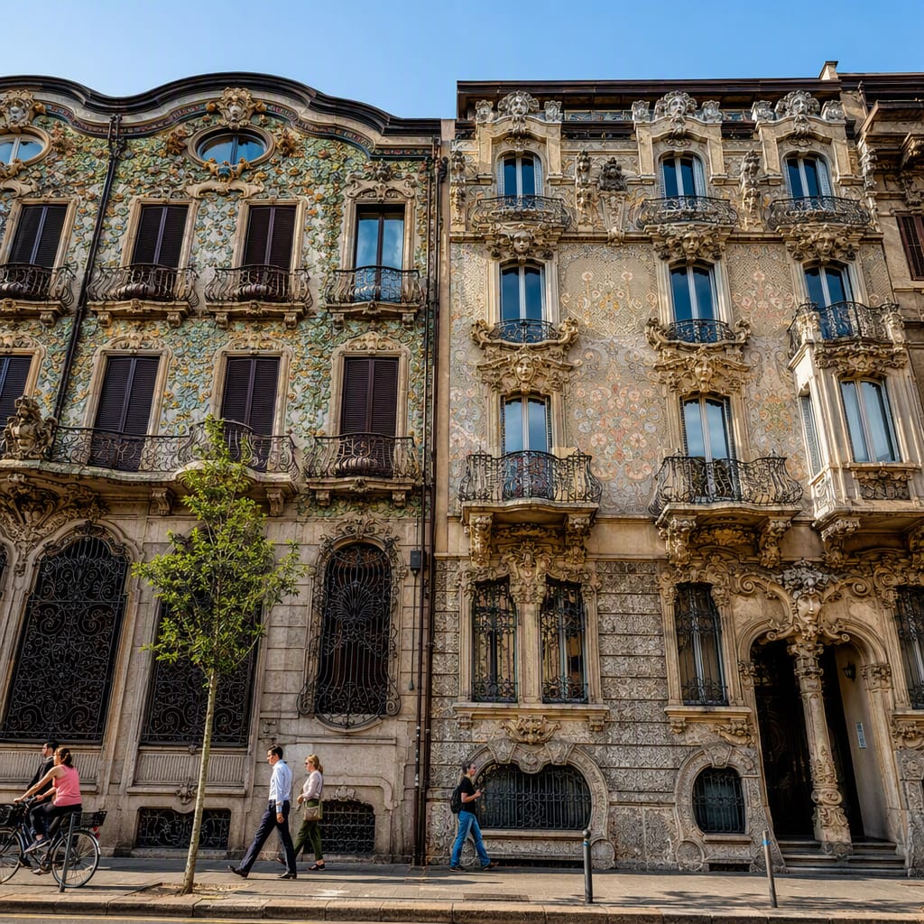 Voyay walking tour
Liberty Fantasies of Porta Venezia
Follow flowers, ceramics and ironwork through Milan’s belle époque streets
12 stops · 164 min · 4.9 km · Free
 Voyay walking tour
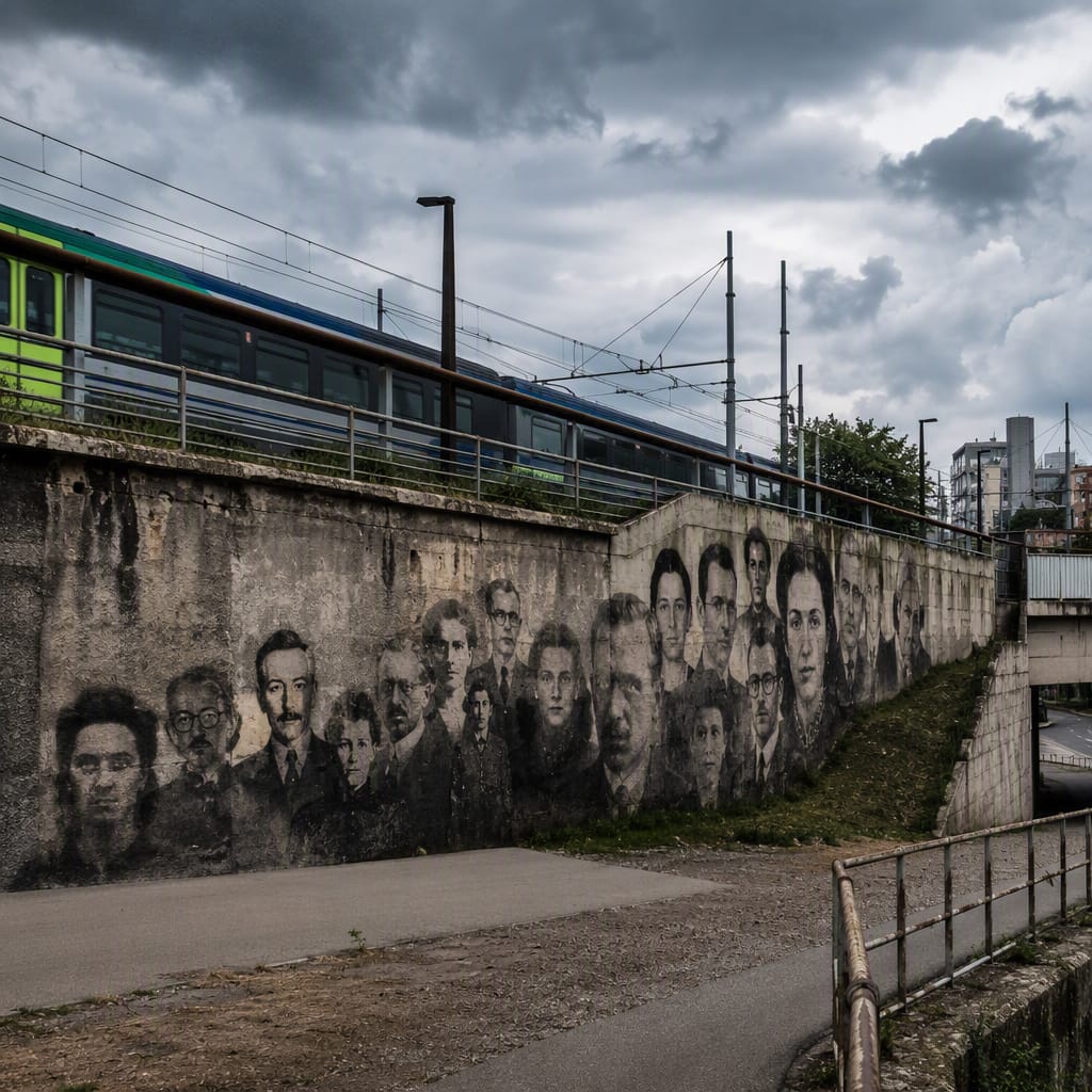
Where Ortica’s Walls Remember
Railway lives, workers’ solidarity, and antifascist memory painted in public
7 stops · 161 min · 11.9 km · Free
 Voyay walking tour
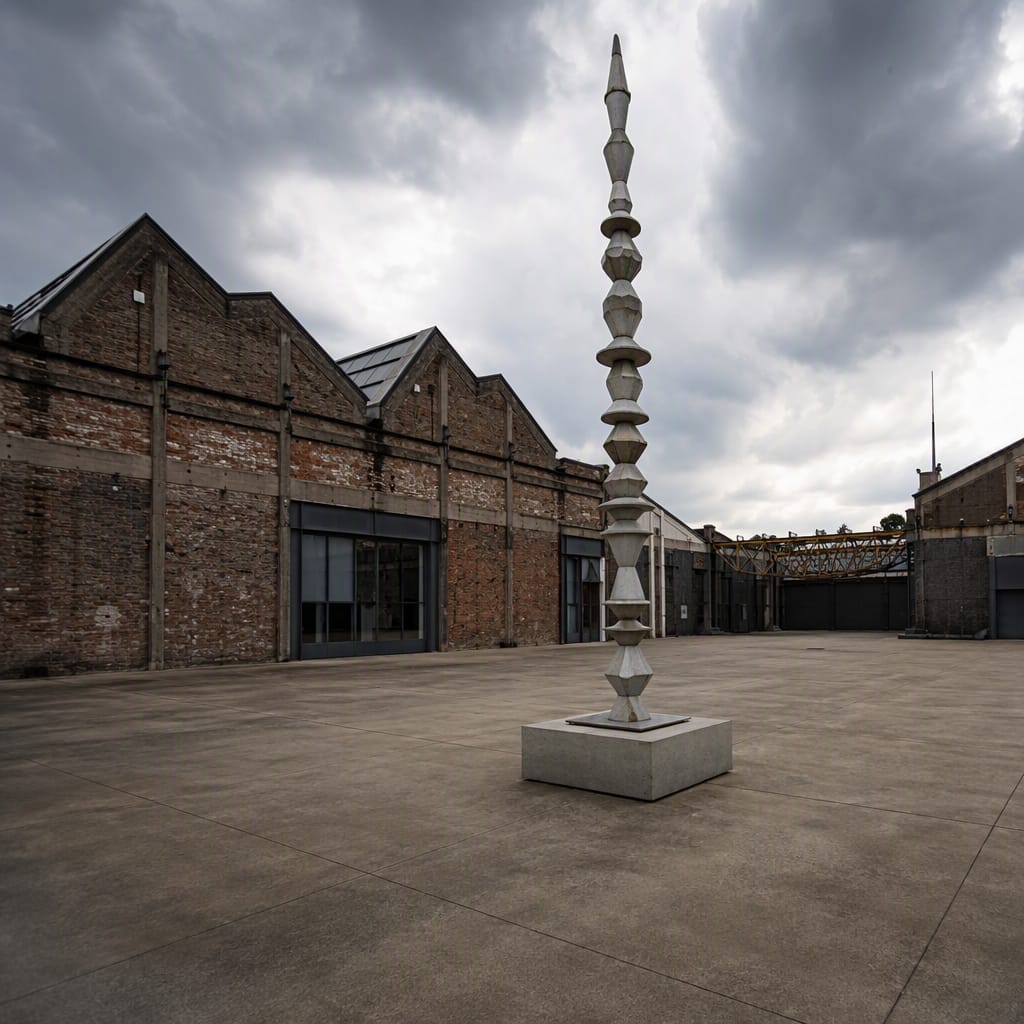
Bicocca Rewired
Trace factory labor, workers’ lives and bold cultural reuse
11 stops · 159 min · 5.2 km · Free