Miami River Through Deep Time
Walk from Tequesta archaeology to bridges, boats, and fish docks
- Miami, United States
- 11 stops
- 184 min
- 6.8 km
- History
Try the first stop
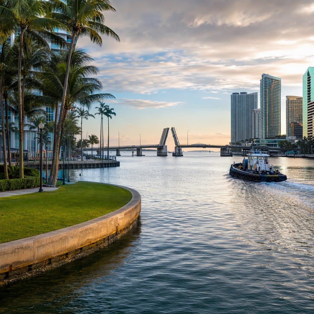
Brickell Key Park
An engineered island reveals where the Miami River meets Biscayne Bay.
Begin with the geography that shaped every chapter ahead. From the northwest promenade, watch the tidal Miami River enter Biscayne Bay through a channel transformed by dredging and fill. Boats, wakes, seabirds, and shifting water colors reveal how an ancient estuary became both a navigational corridor and manufactured shoreline.
The route
11 stops, in order.
- 1Stop 1 · Free sample
Brickell Key Park
An engineered island reveals where the Miami River meets Biscayne Bay.
- 2Stop 2
Brickell Key Bridge
This elevated crossing frames the engineered river mouth and its constant boat traffic.
 Stop 3
Miami Circle
A protected Tequesta landmark lies quietly beneath this riverfront lawn.
 Stop 4
Brickell Avenue Bridge
A working drawbridge pairs maritime engineering with a monument to Tequesta history.
 Stop 5
Fort Dallas Park
A small riverside park recalls Miami’s contested pre-railroad history.
 Stop 6
South Miami Avenue Bridge
A narrow downtown crossing exposes the river’s bridges, currents, and working vessels.
- 7Stop 7
José Martí Park
Little Havana meets the working river in this lively neighborhood park.
 Stop 8
HistoryMiami Museum
Original objects and maps place the river within Miami’s deeper history.
 Stop 9
Fort Dallas Barracks
A relocated stone building links plantation slavery, warfare, and preservation.
- 10Stop 10
Garcia's Seafood
A family fish market keeps Miami’s working-waterfront traditions deliciously alive.
 Stop 11
NW 5th Street Bridge
This drawbridge overlooks boatyards, repair docks, and Miami’s working river.
The app guides you from stop to stop with GPS and plays each story when you arrive.
More tours in Miami
See all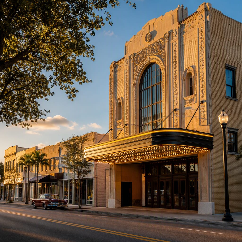 Voyay walking tour
Overtown Jazz and Highway Scars
Walk Little Broadway’s brilliance, resilience, and fractured streets up close
11 stops · 135 min · 3.4 km · Free
 Voyay walking tour
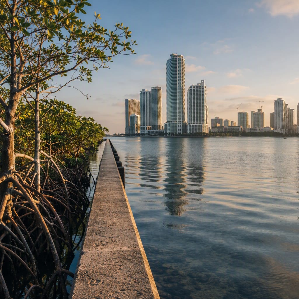
Walking Miami’s Rising Waterline
A bayside journey through ecology, exposure, and urban resilience
9 stops · 126 min · 3.9 km · Free