Williamstown’s Working Waterfront Trail
Follow warships, time signals and trades through Melbourne’s seafaring village
- Melbourne, Australia
- 11 stops
- 142 min
- 4 km
- History
Try the first stop
John E. Morley Reserve
A public foreshore lookout revealing Williamstown’s still-active naval shipbuilding landscape.
From this quiet reserve, Williamstown’s maritime industry comes sharply into focus. Look across the water for cranes, fabrication sheds, workboats and occasional naval hulls. The view connects today’s secured shipyard with generations of shipwrights, welders, riggers and engineers who made this waterfront one of Australia’s major naval construction centres.
The route
11 stops, in order.
- 1Stop 1 · Free sample
John E. Morley Reserve
A public foreshore lookout revealing Williamstown’s still-active naval shipbuilding landscape.
- 2Stop 2
Point Gellibrand
An exposed harbour point where navigation, coastal defence and shipping routes converge.
 Stop 3
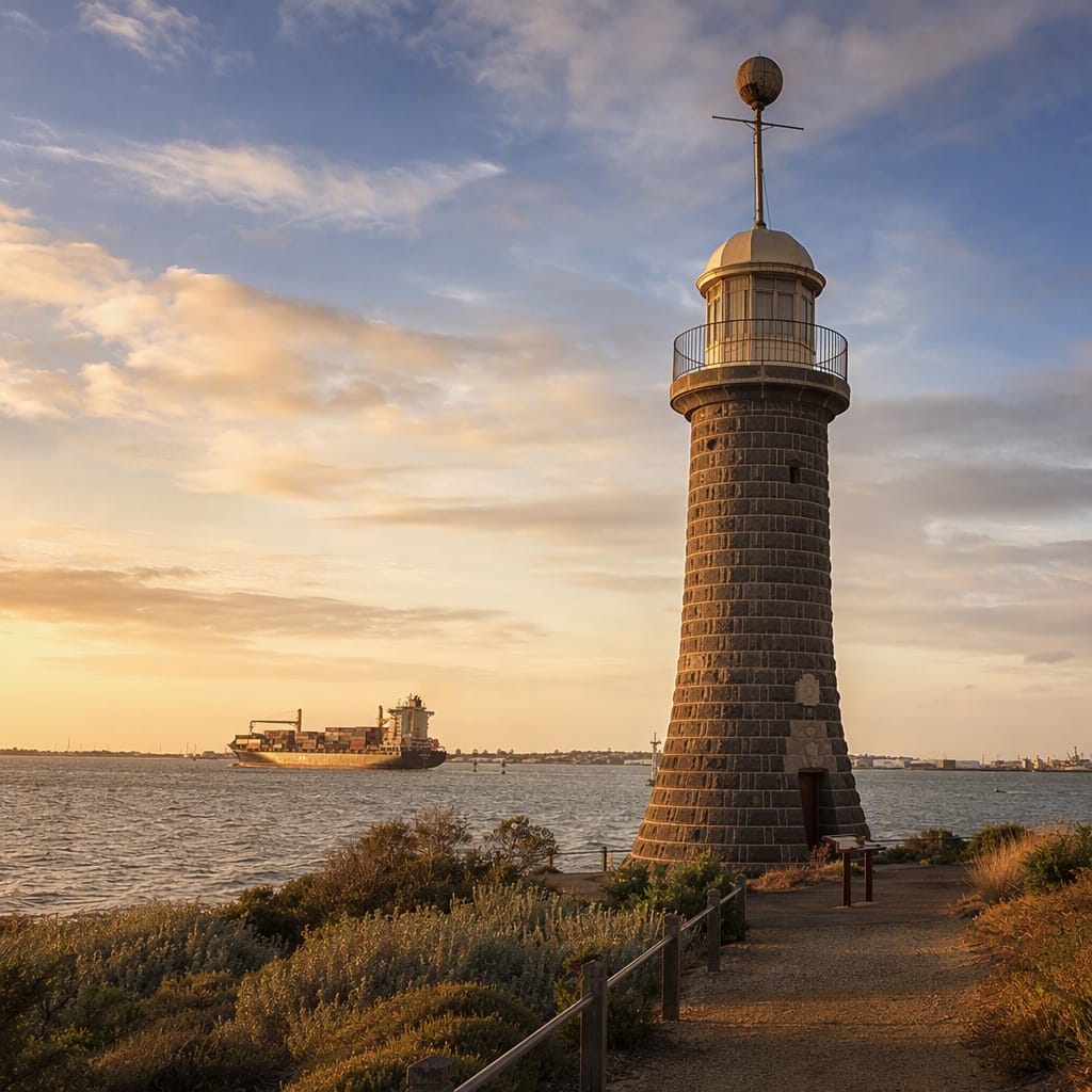
Williamstown Timeball Tower
A bluestone navigation landmark that once helped mariners calculate longitude accurately.
 Stop 4
Nelson Place
Williamstown’s historic port street of hotels, merchants and maritime meeting places.
- 5Stop 5
Seaworks
Industrial sheds preserve the trades and machinery that kept Melbourne’s port working.
- 6Stop 6
Williamstown Customs House
A grand colonial office that controlled cargo, duties and the legal waterfront.
- 7Stop 7
HMAS Castlemaine
A Williamstown-built wartime corvette packed with machinery, weapons and cramped crew spaces.
 Stop 8
Gem Pier
A historic ferry landing linking Williamstown’s naval waterfront with central Melbourne.
- 9Stop 9
Commonwealth Reserve
A waterfront village square connecting customs, ferries, memorials and historic port society.
- 10Stop 10
Blunt’s Boatbuilders
A living boatbuilding tradition preserving Williamstown’s hands-on wooden craft skills.
- 11Stop 11
Ferguson Street Pier
A water-level viewpoint alive with ferries, fishing craft and harbour sounds.
The app guides you from stop to stop with GPS and plays each story when you arrive.
More tours in Melbourne
See all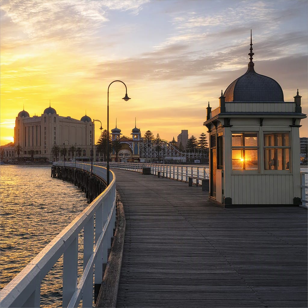 Voyay walking tour
St Kilda’s Seaside Playground
From bathing rituals to rides, theatres, yachts, and pleasure piers
11 stops · 150 min · 4.5 km · Free
 Voyay walking tour
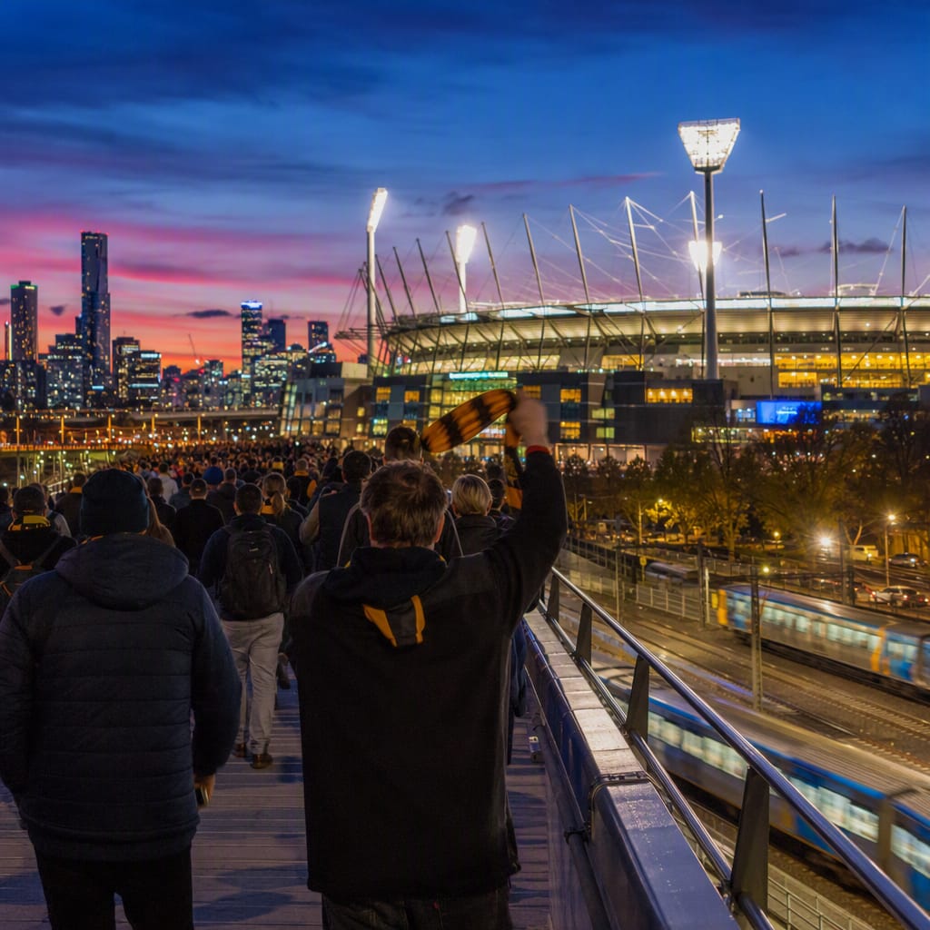
Sporting Richmond Crowd Trails
Follow the Rail Lines, Stadium Walls, and Match-Day Traditions
11 stops · 162 min · 5.3 km · Free
 Voyay walking tour
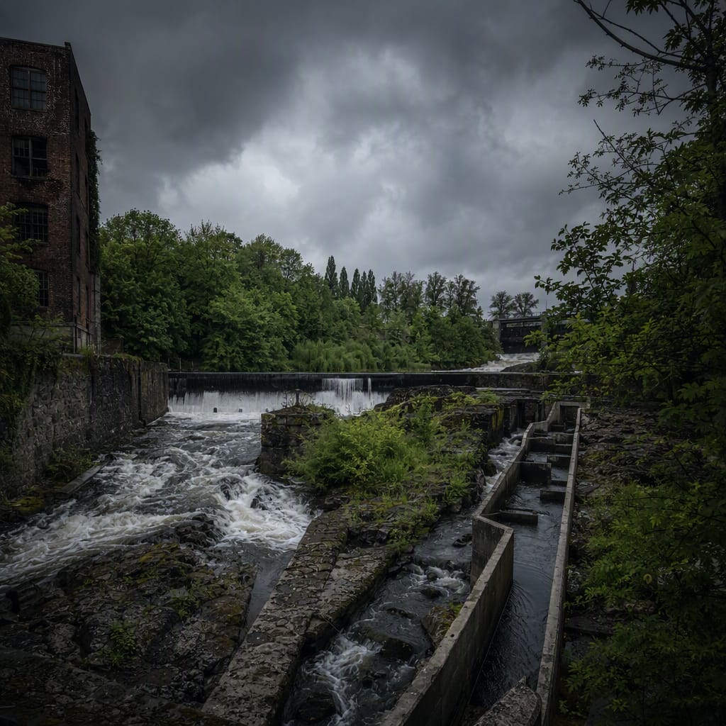
Mills and Rapids of Abbotsford
Trace water power, farm labour, factories, and river restoration
9 stops · 138 min · 4.7 km · Free