Tracing Cebu’s Vanished Colonial Waterfront
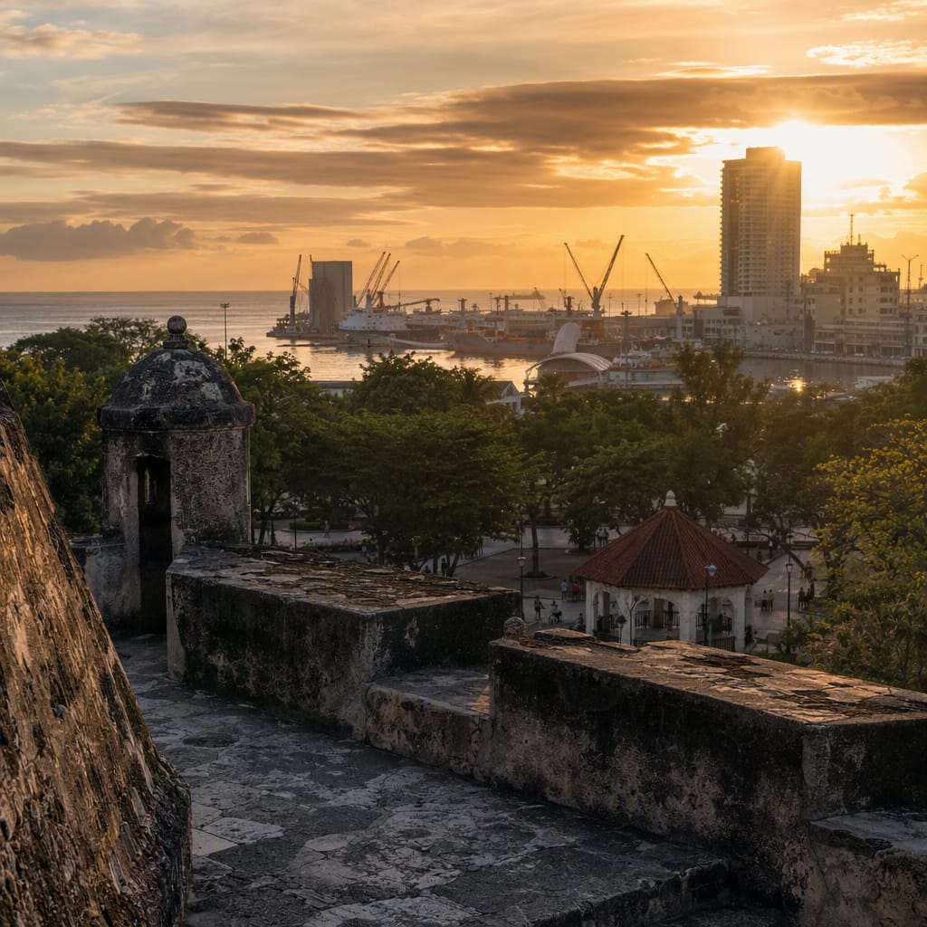
Fort walls, sacred landmarks, and a shoreline hidden beneath streets
- Cebu, Philippines
- 10 stops
- 150 min
- 5.1 km
- History
Try the first stop

Colon Street Historical Marker
Cebu’s storied first street reveals how the colonial foothold grew inland.
Stand where Cebu’s colonial core opened into its bustling commercial city. Colon Street is traditionally considered the Philippines’ oldest named street, yet today it pulses with shops, jeepneys, signs, and pedestrians rather than preserved colonial scenery. Its eastern end marks the tour’s boundary before the route turns south toward Carbon.
The route
10 stops, in order.
- Stop 1 · Free sample
Colon Street Historical Marker
Cebu’s storied first street reveals how the colonial foothold grew inland.
 Stop 2
Cebu Metropolitan Cathedral
Cebu’s cathedral reveals how conversion became an organized system of colonial authority.
 Stop 3
National Museum Cebu
Maritime archaeology places Cebu’s colonial encounter within a much older trading world.
 Stop 4
Fort San Pedro
Coral-stone ramparts anchor Cebu’s transformation into Spain’s first lasting Philippine base.
 Stop 5
Plaza Independencia
A ceremonial green reveals shifting empires, buried archaeology, and Cebu’s vanished shore.
 Stop 6
Basilica Minore del Santo Niño
Cebu’s beloved shrine transforms a colonial image into living local devotion.
 Stop 7
Magellan’s Cross Pavilion
A celebrated cross captures the contested meeting of alliance, baptism, and empire.
 Stop 8
Compañía Marítima
A roofless shipping landmark evokes Cebu’s reclaimed waterfront and maritime ambitions.
- 9Stop 9
Senior Citizens Park
This relaxed civic park offers a revealing viewpoint across Cebu’s reclaimed waterfront.
 Stop 10
Cebu Carbon Market
Cebu’s great public market keeps the waterfront’s regional exchange networks alive.
The app guides you from stop to stop with GPS and plays each story when you arrive.