Wild Austin Along Lady Bird
Bats, boardwalks, birds, and the hidden machinery shaping the shoreline
- Austin, United States
- 10 stops
- 235 min
- 11.2 km
- Nature
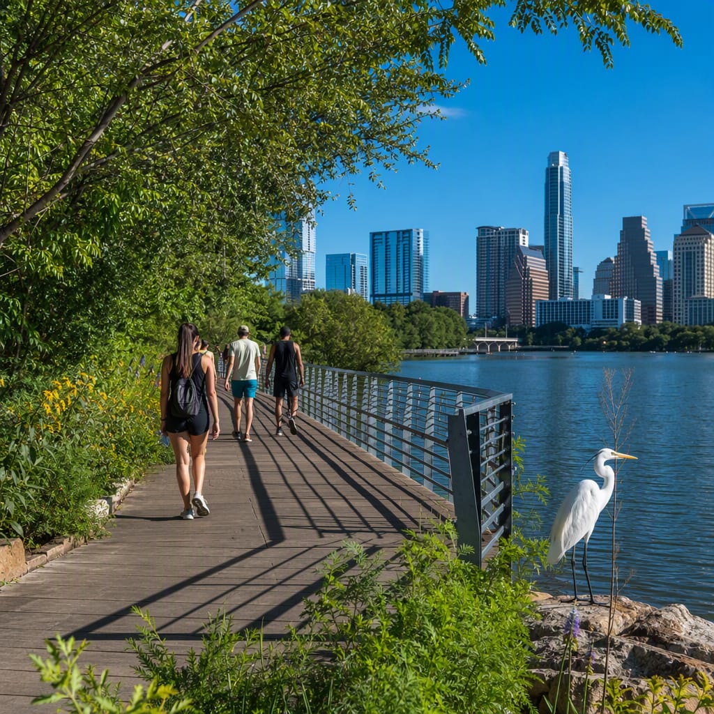
Try the first stop

Vic Mathias Shores
Austin’s civic lawn doubles as restored shoreline and wildlife-supporting green infrastructure.
This popular event lawn shows how one waterfront must serve concerts, dogs, walkers, stormwater, and wildlife at once. Look beyond the open grass to rebuilt banks and native edge plantings that resist erosion. Those shaggy margins also provide shade, insects, and cover for turtles, birds, and small urban mammals.
The route
10 stops, in order.
- Stop 1 · Free sample
Vic Mathias Shores
Austin’s civic lawn doubles as restored shoreline and wildlife-supporting green infrastructure.
 Stop 2
Fannie Davis Gazebo
A shaded lakeside pavilion frames water, birds, and Austin’s evolving skyline.
- 3Stop 3
Congress Avenue Bridge
Bridge crevices shelter Austin’s famous colony of Mexican free-tailed bats.
- 4Stop 4
Statesman Bat Center
A grassy riverbank offers front-row views of bats streaming into twilight.
 Stop 5
Lady Bird Lake Boardwalk
An over-water trail turns shoreline engineering into a panoramic urban adventure.
 Stop 6
Belting It Out
Bronze belts transform a Boardwalk railing into a hidden Texas music archive.
- 7Stop 7
Blunn Creek Confluence
An urban creek reveals how stormwater connects neighborhoods with lakeside habitat.
- 8Stop 8
Peace Point
A quiet point showcases waterbirds, turtles, and habitat-rich irregular shoreline edges.
 Stop 9
Longhorn Shores
Broad lawns and mature trees mark the lake’s quieter eastern transition.
- 10Stop 10
Longhorn Dam
The structure behind Lady Bird Lake reveals Austin’s controlled river landscape.
The app guides you from stop to stop with GPS and plays each story when you arrive.
More tours in Austin
See all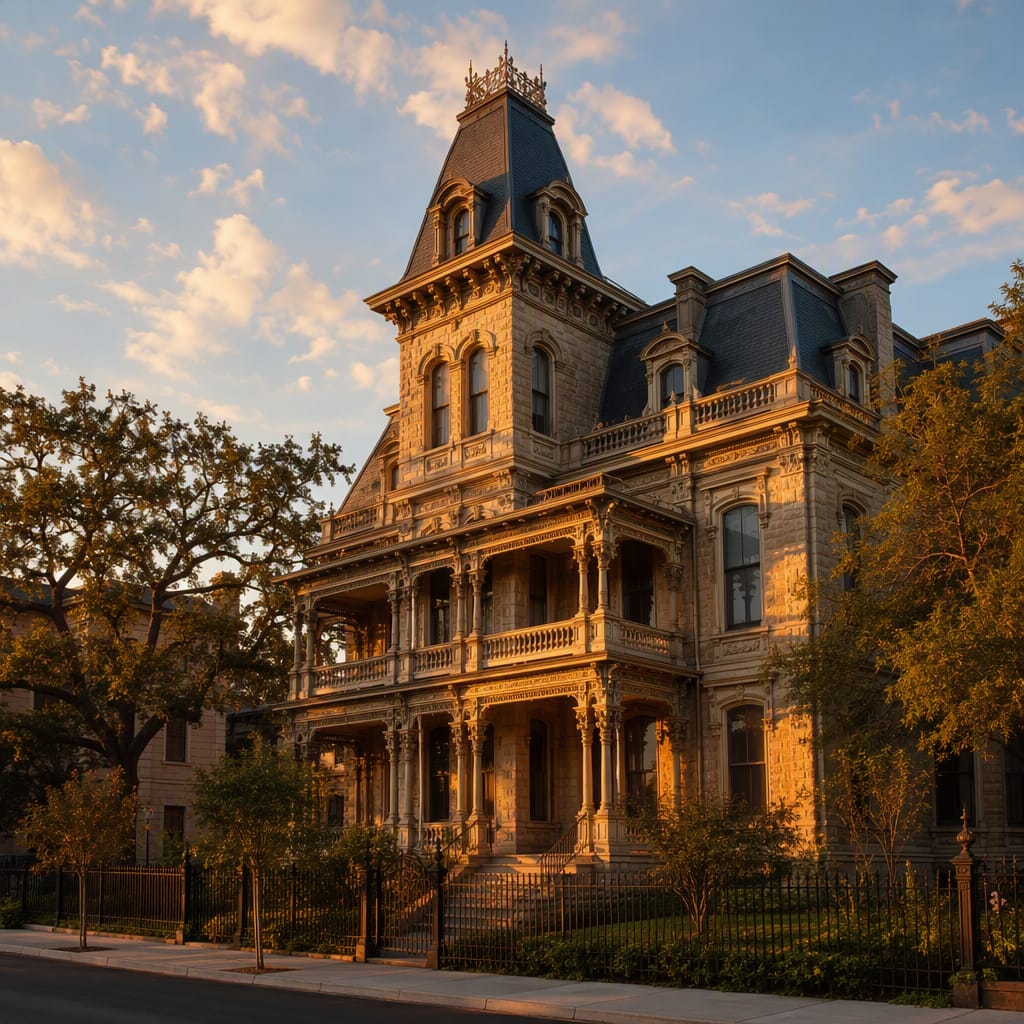 Voyay walking tour
Capitol Grandeur to Bremond Mansions
Follow Austin’s rise from civic monuments to Gilded Age homes
12 stops · 143 min · 3.3 km · Free
 Voyay walking tour
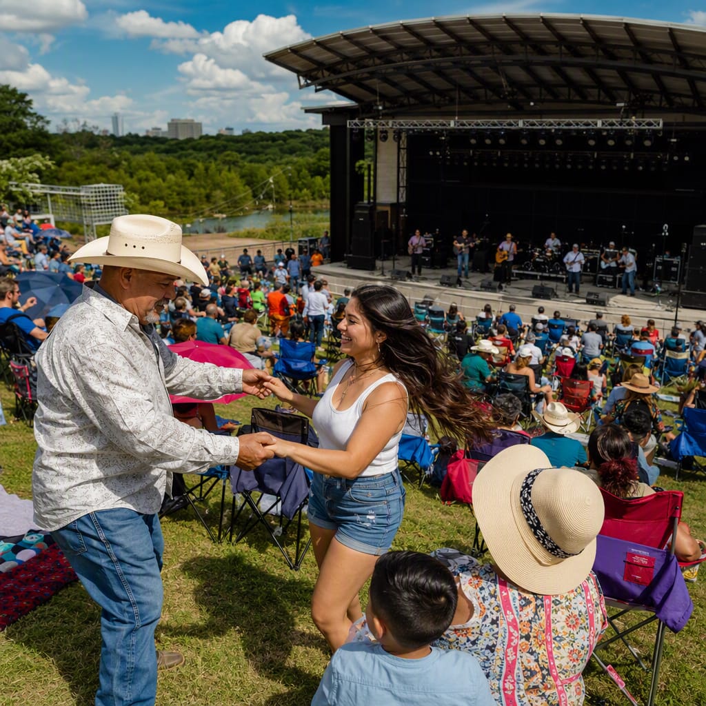
Tejano Memory Through East Austin
Churches, music, food, and resilience along historic neighborhood streets
12 stops · 187 min · 6.7 km · Free
 Voyay walking tour
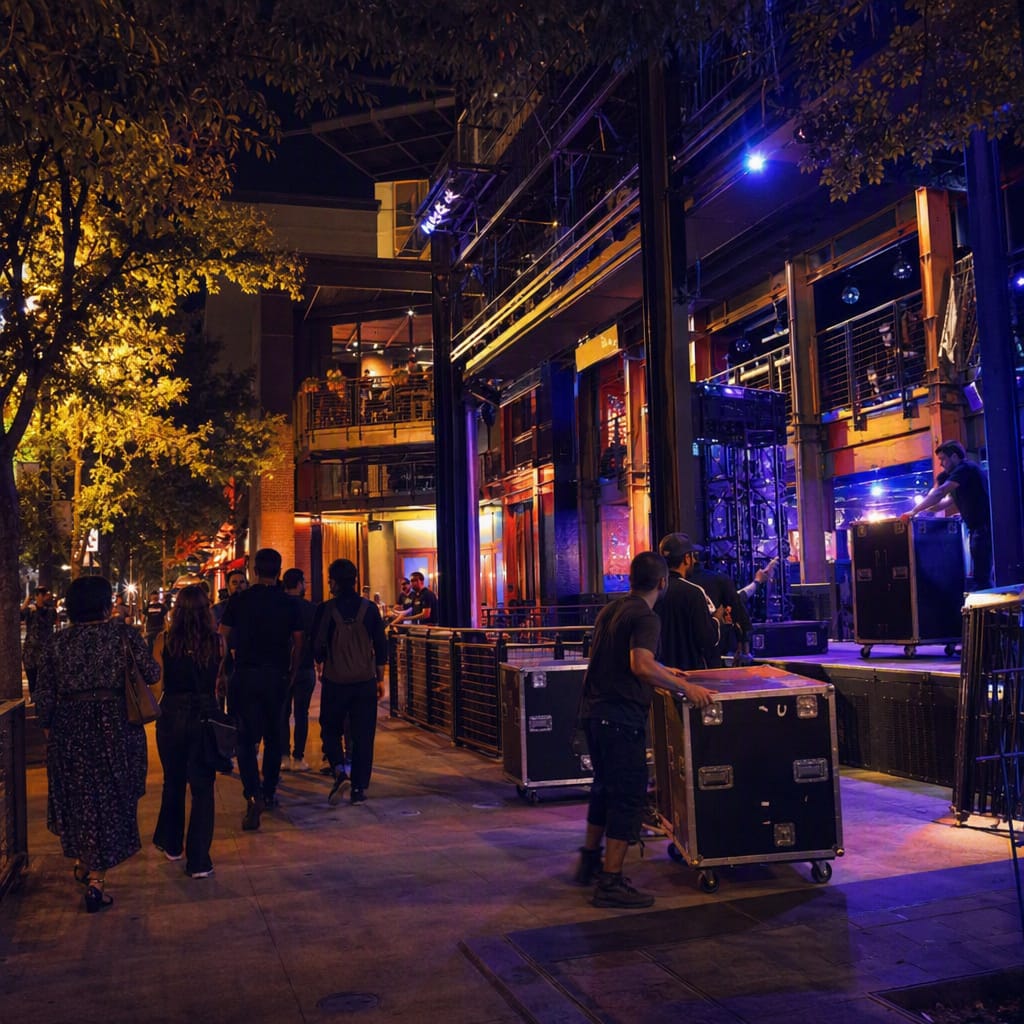
Red River After Dark
Punk Rooms, Queer Stages, and Austin’s Independent Music Memory
12 stops · 154 min · 3.9 km · Free